 Add Element
  Add Row

The Coming Storm: Dust from the Panhandle
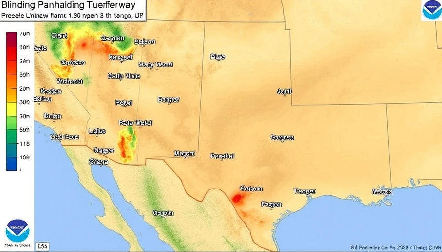
This Friday, North Texas residents should brace themselves for a significant weather event as a massive dust storm, propelled by fierce winds exceeding 80 mph, makes its way from the Panhandle. Earlier this week, areas in the Panhandle already experienced extreme weather conditions with visibility plummeting to less than a quarter-mile, leading to multiple minor accidents and road closures. The National Weather Service (NWS) has cautioned that as winds sweep eastward, similar conditions are expected to impact North Texas, including cities like Dallas.
Understanding Dust Storms and Their Risks
Dust storms, often referred to as haboobs, can span vast distances and emerge suddenly, drastically reducing visibility and creating hazardous driving conditions. They occur due to strong winds that lift fine particles from the ground into the atmosphere, which can be exacerbated by dry and arid conditions. Just recently in West Texas, these storms led to significant accidents, including overturned trucks on major highways, illustrating the potential dangers. It’s crucial to note that the NWS warns against driving during these storms—advising individuals to pull off the road and wait until conditions improve.
Impact on North Texas
As dust descends on North Texas, the expected visibility will likely range from 1 to 3 miles. The winds here have already peaked at 45 mph, contributing to a critical situation made worse by dry air with humidity levels dropping as low as 10%. As temperatures rise between 73 and 86 degrees over the weekend, the added risk of wildfires due to dry vegetation cannot be overstated.
Local agencies, including the Texas Department of Transportation, have already advised against non-essential travel in affected areas, particularly where dust storms have created low visibility. Following this guidance is critical, as navigating through such weather can be perilous.
Preparing for Dust and Wildfire Risks
With projections that the dryline will continue to shift eastward throughout the day, residents are urged to take precautions against potential wildfires. The combined factors of lower humidity and high winds create an environment ripe for rapid fire spread. The NWS has issued warnings about the current high Wind and Red Flag warnings across North Texas, emphasizing that the forecast does not predict any rain in the coming days.
Firefighters and emergency services in the region have been on high alert, preparing resources to combat potential wildfires. Having an emergency plan, securing outdoor items that can be blown away, and avoiding outdoor open flames are essential measures residents should consider.
Advice for Safe Driving Conditions
For those who must drive during these high-wind conditions, the NWS recommends a few key safety practices. Maintain a safe distance from high-profile vehicles like trucks or buses and keep both hands on the steering wheel. If caught in a dust storm, the essential advice is to pull off the road as soon as safety allows, turning off your vehicle’s lights to avoid creating a hazard for other drivers.
While North Texas braces for this blinding dust, community engagement is key. Local news outlets in Dallas, like Channel 5 and FOX 4, will continue providing updates and alerts as this weather system develops, ensuring everyone stays informed.
Stay Informed and Prepared
In summary, the impending dust storm is a stark reminder of nature's unpredictability in Texas. The community must take proactive measures to safeguard themselves as conditions evolve. This situation is particularly vital for those living in and traveling to the Dallas area, where visibility is expected to degrade, making the roadways increasingly dangerous.
Take actions to stay safe and informed this weekend. Reach out to local news sources for real-time updates to ensure your safety and that of others.


 Add Row
  Add
Add 

Write A Comment